Completed Commissions
Cities, estates, wedding routes, trails, historical charts, and campuses — every piece drawn to its own honest scale.
Bellhaven Tech Campus Wayfinding Map
A seven-building corporate campus wayfinding map for lobby signage and new-hire handouts, illustrated from the architect's own site plans.
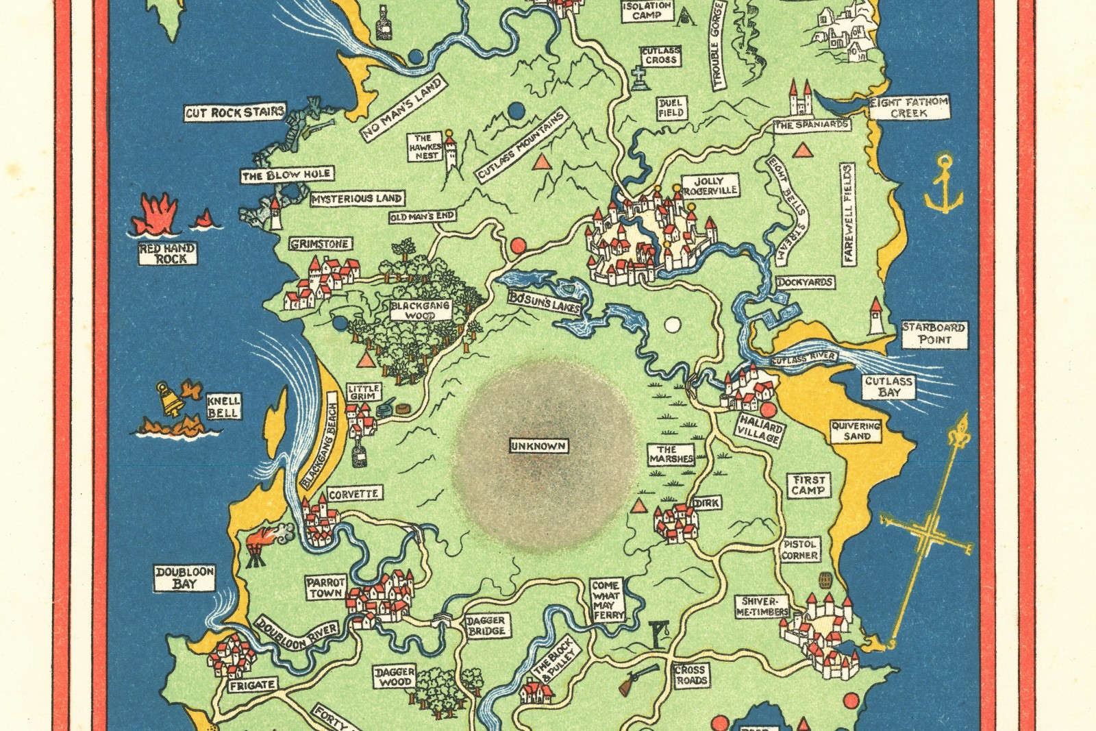
Where the Wild Things Roam — Nursery Map
An illustrated map of an invented island for a nursery wall, sized precisely to the family's actual wall dimensions and framed opening.
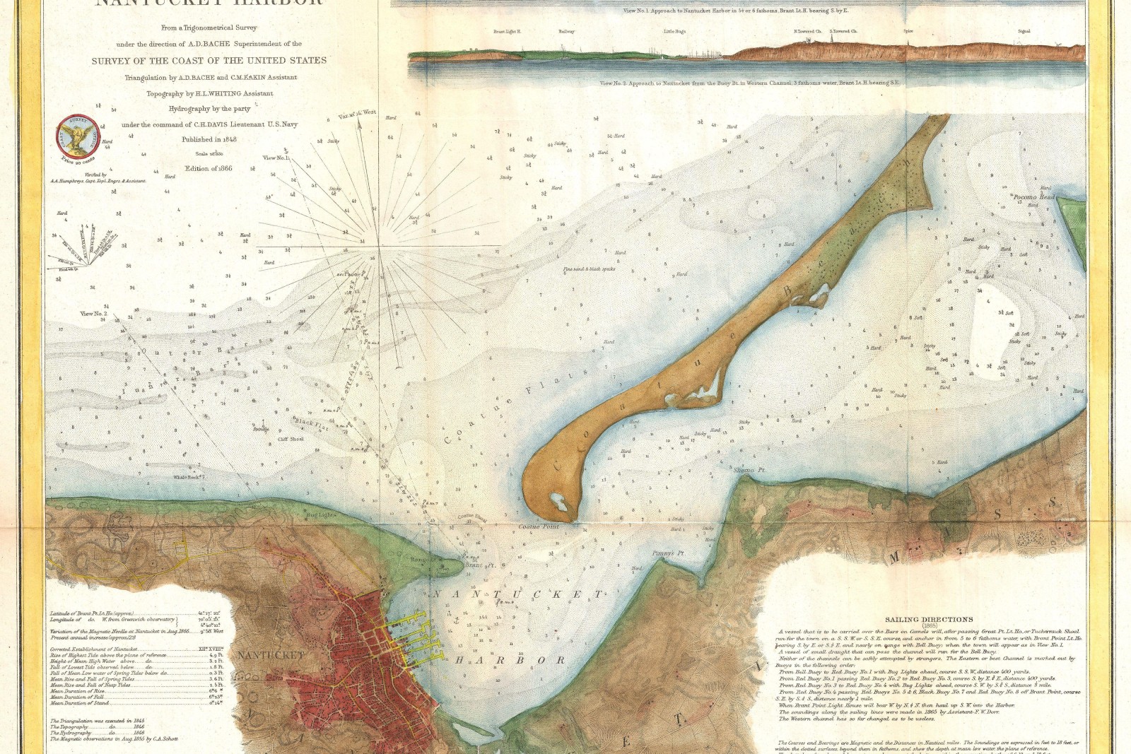
Cascade Bay Sailing Chart
A laminated racing chart for a yacht club's home waters, combining official NOAA sounding data with hand-illustrated shoal hachures.
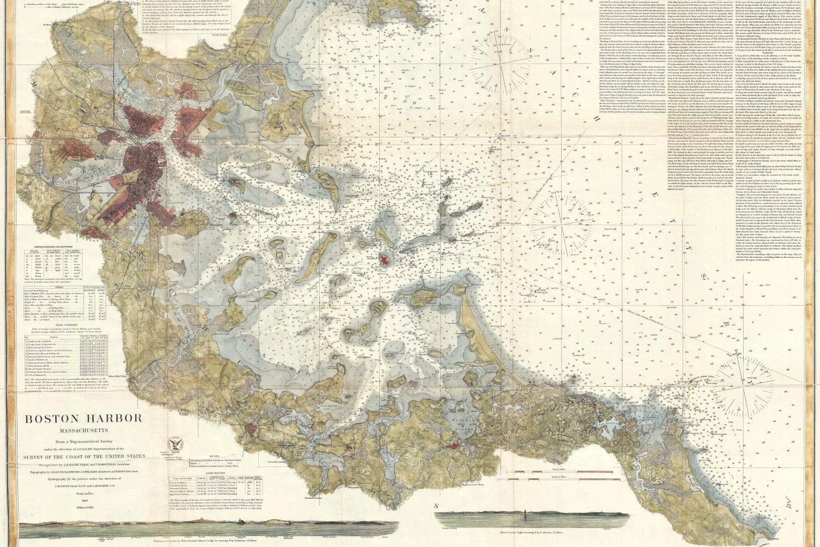
1889 Portland Harbor Chart Reproduction
A hand-inked, archivally faithful reproduction of an 1889 harbor survey chart, restored from a damaged original held by a regional maritime museum.
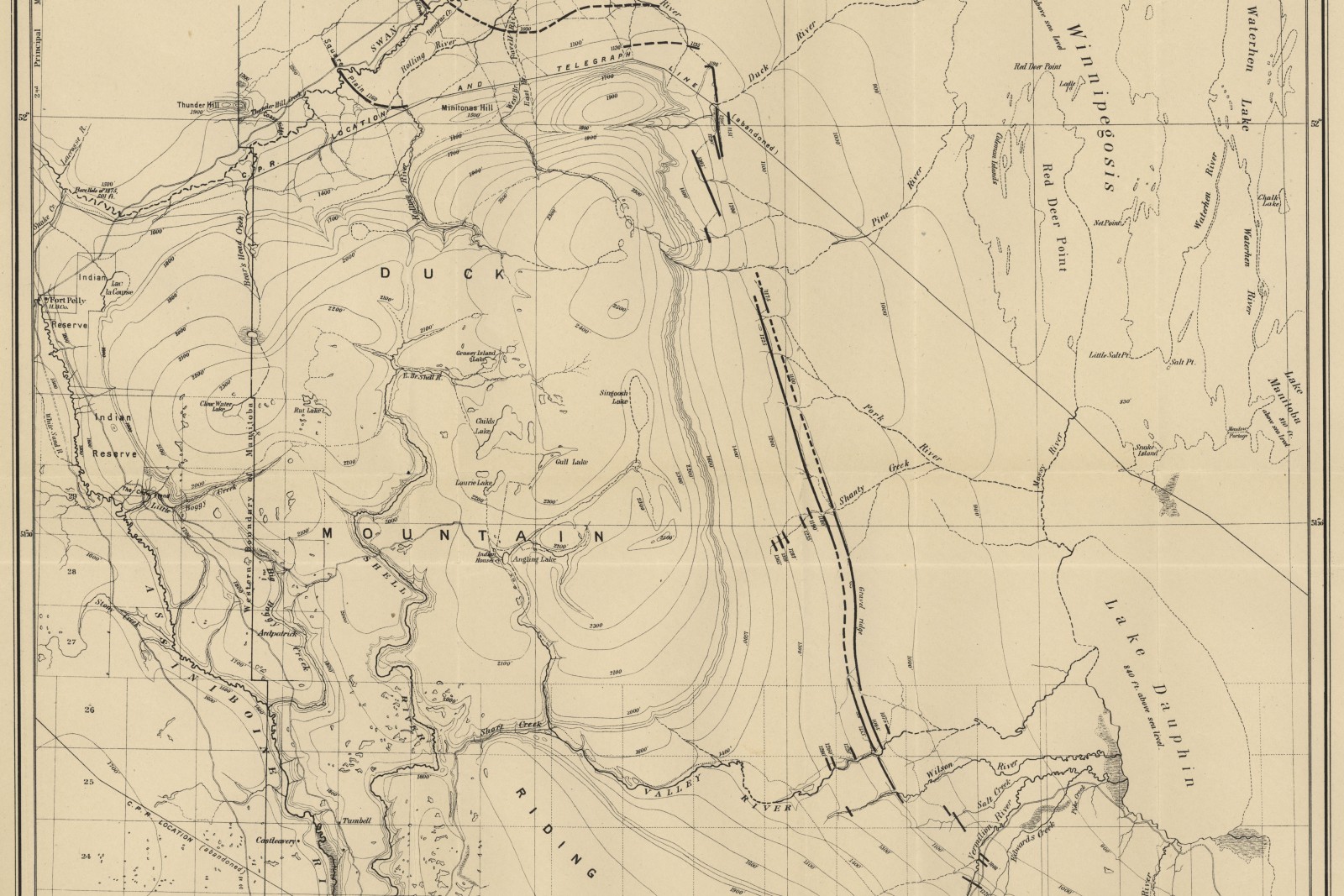
Selkirk Ridge Trail Map
A field-durable trail map covering 42 miles of alpine ridge trail, printed to the classic quarter-mile-per-inch backcountry scale.
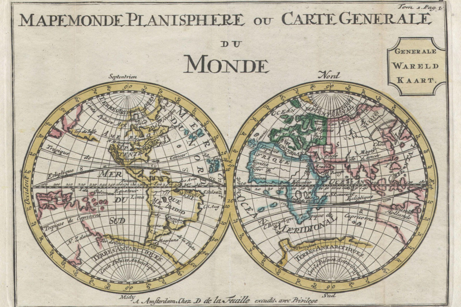
The Ashford–Reyes “Our Story” Map
A hand-illustrated world route map tracing where a couple met, moved, and proposed, given as a wedding-day gift from the couple's families.
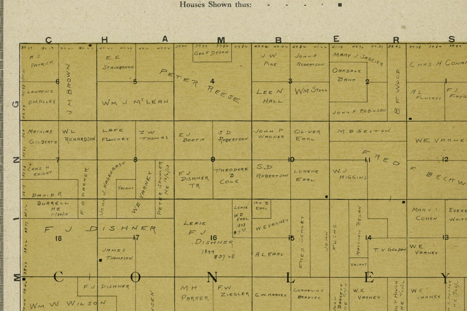
Six Oaks Ranch Property Map
A 340-acre working ranch rendered as a single illustrated estate map, from the surveyed parcel boundary down to individual outbuildings.
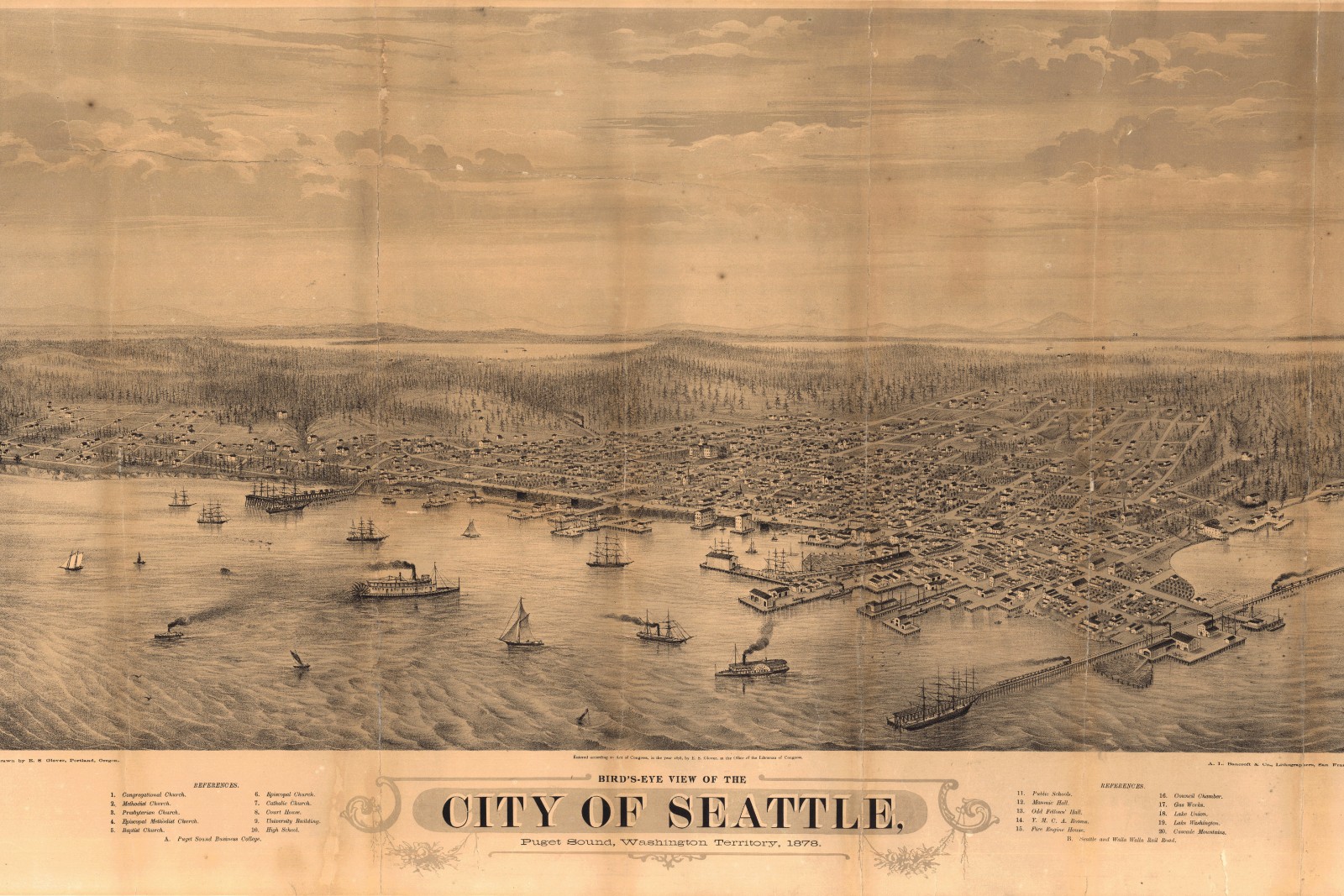
Wildwood Heights Neighborhood Map
A hand-illustrated street map of a 1.5-square-mile neighborhood, printed for every resident at the association's centennial.