Estate & Property
Six Oaks Ranch Property Map
A 340-acre working ranch rendered as a single illustrated estate map, from the surveyed parcel boundary down to individual outbuildings.
A 340-acre working ranch rendered as a single illustrated estate map, from the surveyed parcel boundary down to individual outbuildings.
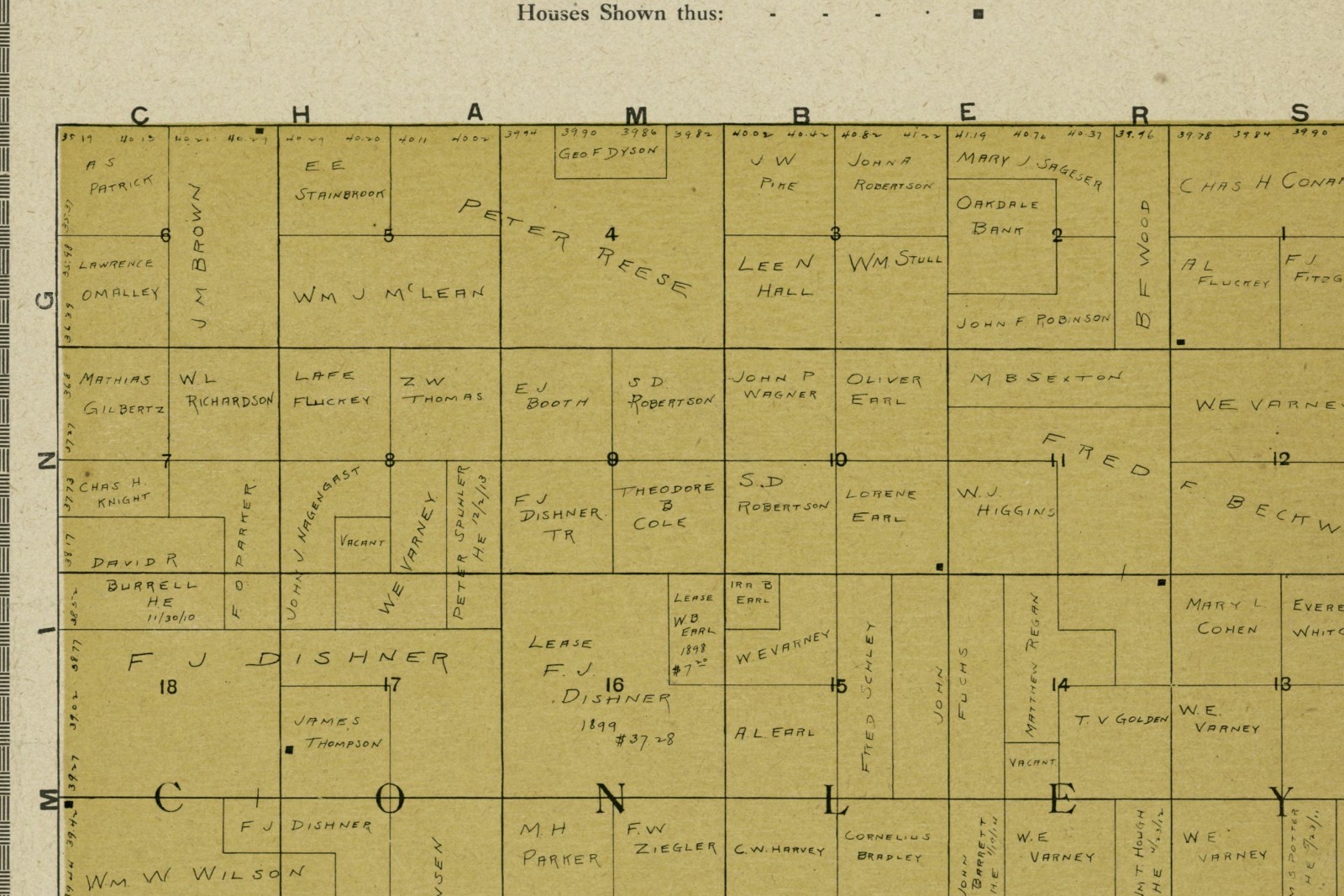
The client, a fourth-generation ranching family, wanted a single framed reference for the full 340-acre property — parcel boundary, grazing paddocks, the seasonal creek, both barns, and every outbuilding the family still used by its original, decades-old nickname.
The studio worked from the county’s recorded parcel survey and a walked GPS track of the working fence lines, which in several places had drifted from the recorded boundary over sixty years of informal repair — a discrepancy the family asked to have illustrated honestly rather than smoothed over, so the map carries both the recorded boundary and the actual fence line where they diverge.
Elevation contours were simplified from public LIDAR data to a hand-drawn hachure style rather than printed as raw contour lines, keeping the map legible as a piece of wall art rather than a survey document — while the underlying acreage and boundary figures remain exactly as recorded.
Every piece starts with a scale worked out honestly for the place it needs to cover.