Nautical & Trail
Cascade Bay Sailing Chart
A laminated racing chart for a yacht club's home waters, combining official NOAA sounding data with hand-illustrated shoal hachures.
A laminated racing chart for a yacht club's home waters, combining official NOAA sounding data with hand-illustrated shoal hachures.
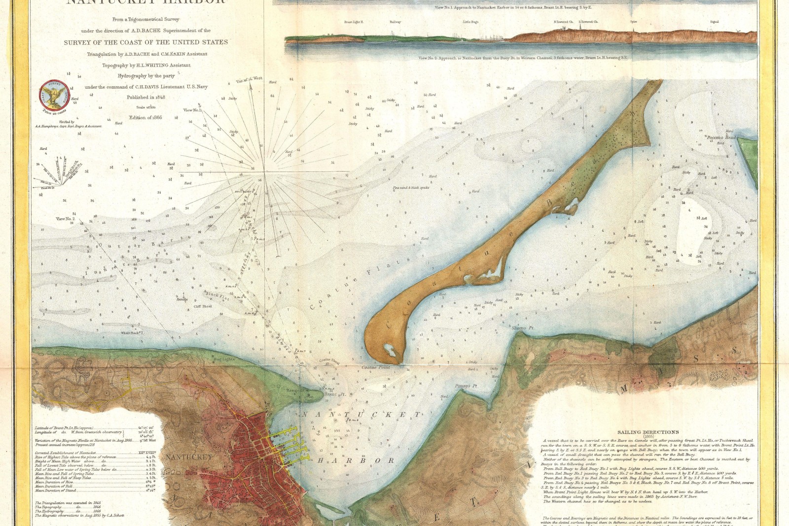
Commissioned by a yacht club for its home racing waters, this chart is explicitly not a navigational document — a disclaimer printed directly on the plate — but a wall and clubhouse piece that keeps NOAA’s official sounding and shoal data intact while illustrating it with hand-drawn depth hachures and a warmer palette than a working chart would use.
All depth figures, buoy positions, and shoal boundaries were pulled directly from the current NOAA chart for the bay and cross-checked against the update the week the plate was finalized, with the studio’s illustration limited to linework style, color, and lettering rather than any repositioning of the underlying survey data.
The club produced a laminated clubhouse edition for daily handling plus a small run of archival prints for members’ race committees.
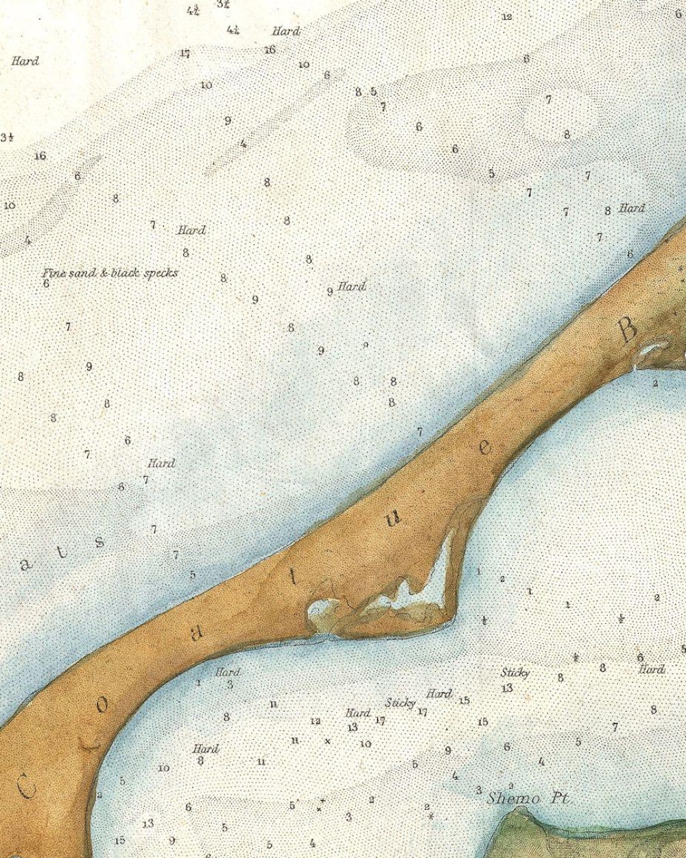
Every piece starts with a scale worked out honestly for the place it needs to cover.