Nautical & Trail
Selkirk Ridge Trail Map
A field-durable trail map covering 42 miles of alpine ridge trail, printed to the classic quarter-mile-per-inch backcountry scale.
A field-durable trail map covering 42 miles of alpine ridge trail, printed to the classic quarter-mile-per-inch backcountry scale.
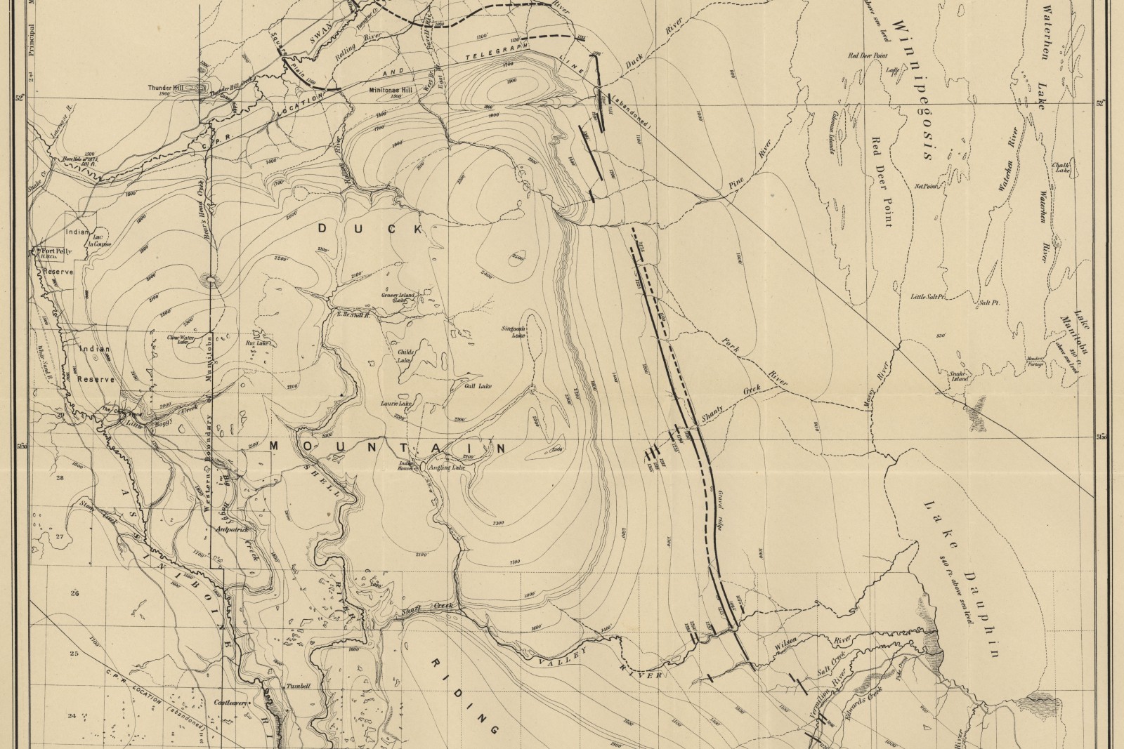
Commissioned by a regional mountaineering club to replace a decades-old, out-of-print trail map, this map covers 42 miles of alpine ridge trail and eleven backcountry campsites at 1:31,680 — the same representative fraction long used by USGS 7.5-minute quadrangles, chosen deliberately so club members already fluent in reading that scale wouldn’t need to relearn one.
Trail geometry was built from the club’s own volunteer-collected GPS track logs across four seasons, reconciled against public 10-meter contour data for elevation. Water sources, exposed scramble sections, and avalanche-prone gullies were all field-verified by club volunteers before the final plate was inked, and the printed edition uses a tear- and water-resistant synthetic paper stock intended to actually go in a pack rather than stay framed.
The club distributes the map at cost to members and keeps a marked-up master copy at the trailhead kiosk for seasonal condition notes.

Every piece starts with a scale worked out honestly for the place it needs to cover.