Every place deserves its own map.
A studio of hand- and digitally-illustrated maps, drawn to a real scale for a real place.
Real places, drawn to a real scale
Cities, estates, wedding routes, trails, historical charts, and campuses — every commission carries its own scale, medium, and turnaround.
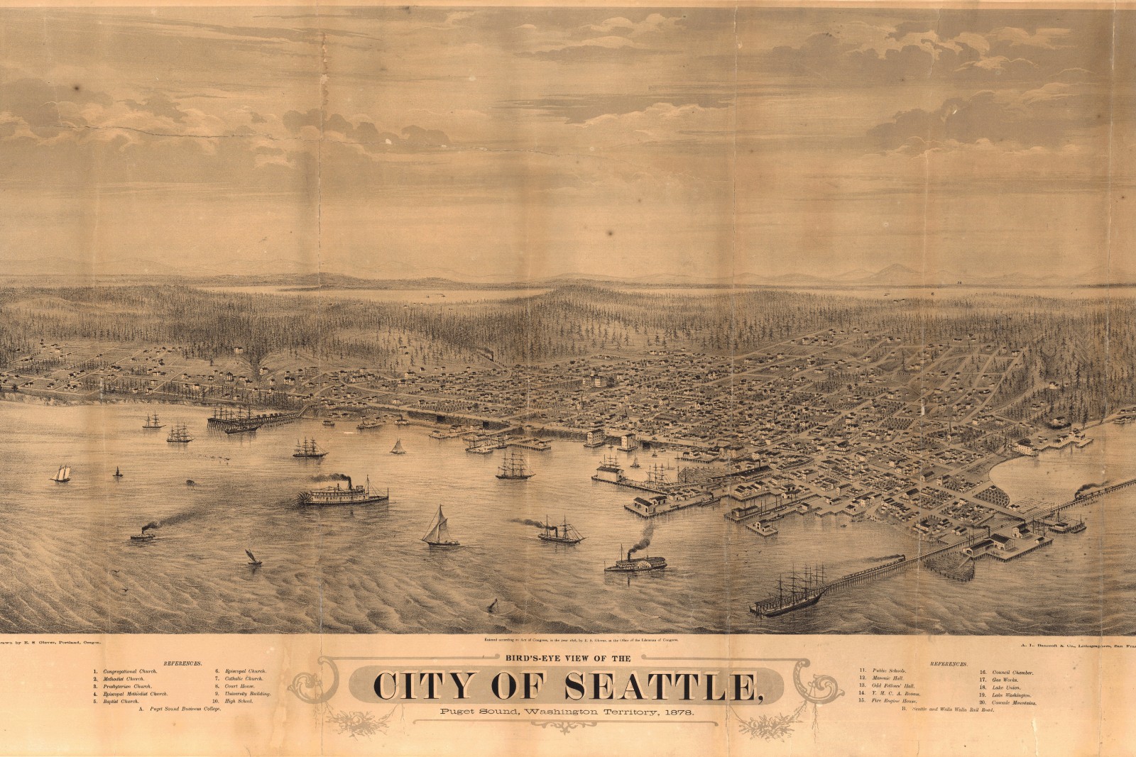
Wildwood Heights Neighborhood Map
A hand-illustrated street map of a 1.5-square-mile neighborhood, printed for every resident at the association's centennial.
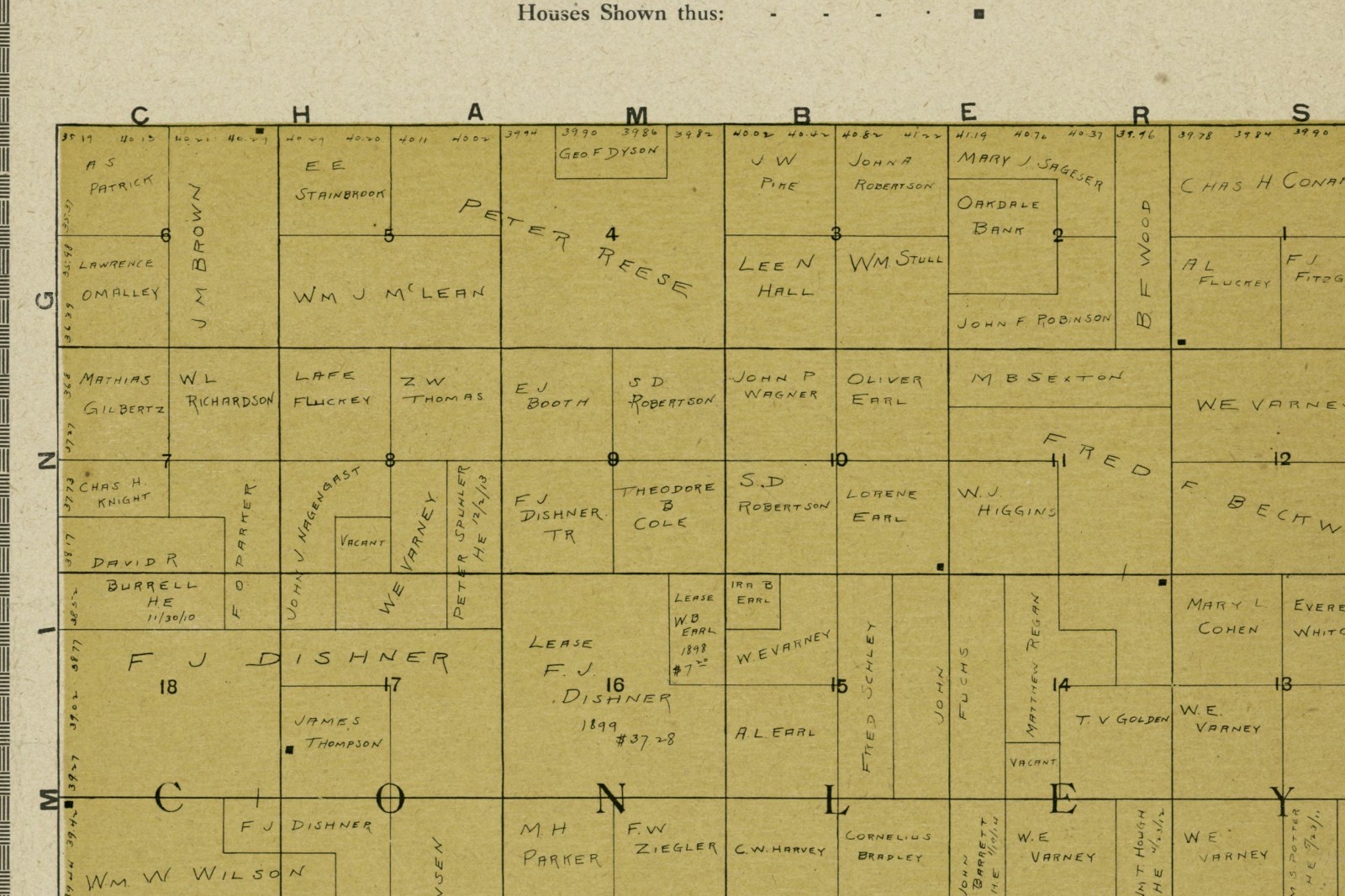
Six Oaks Ranch Property Map
A 340-acre working ranch rendered as a single illustrated estate map, from the surveyed parcel boundary down to individual outbuildings.
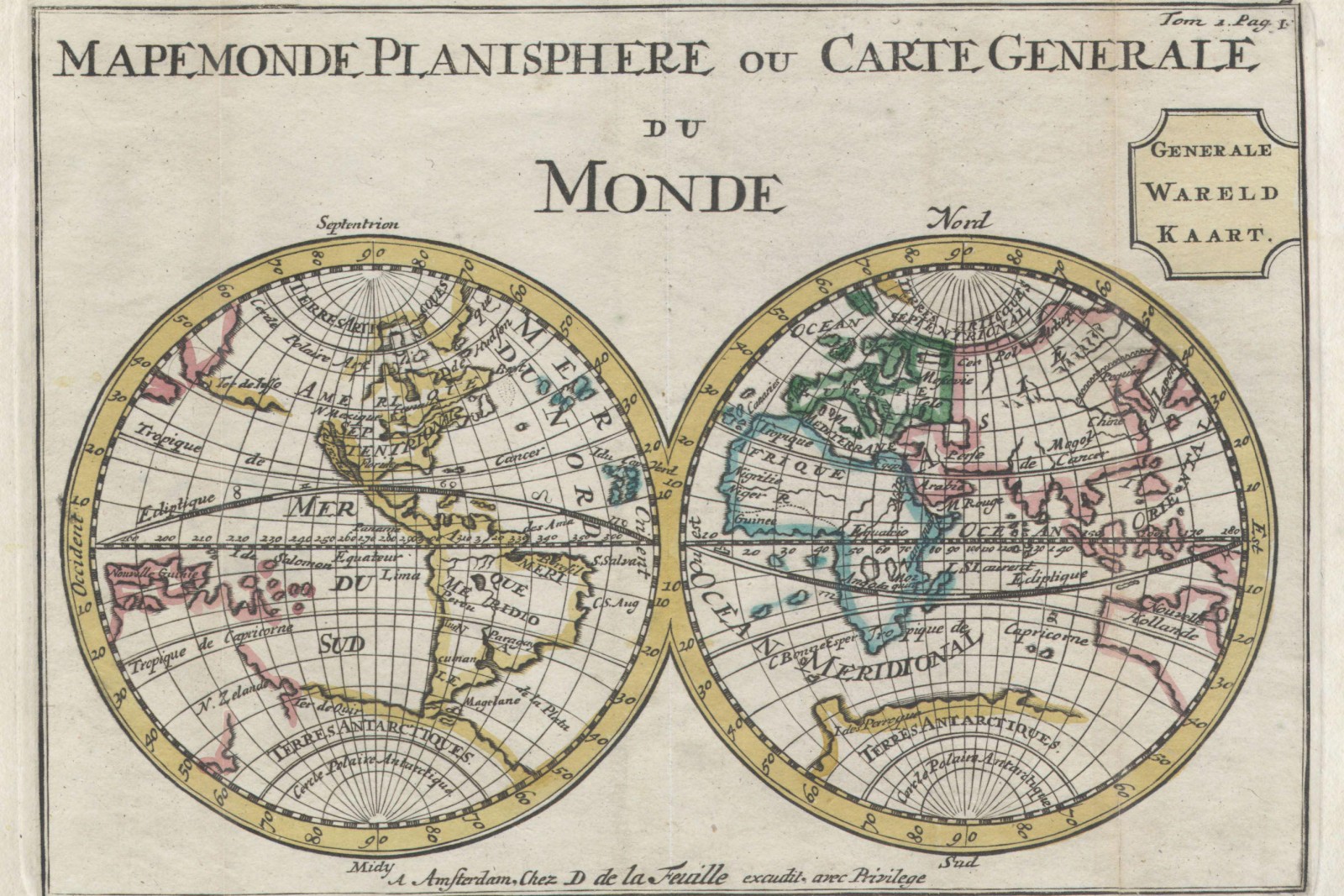
The Ashford–Reyes “Our Story” Map
A hand-illustrated world route map tracing where a couple met, moved, and proposed, given as a wedding-day gift from the couple's families.
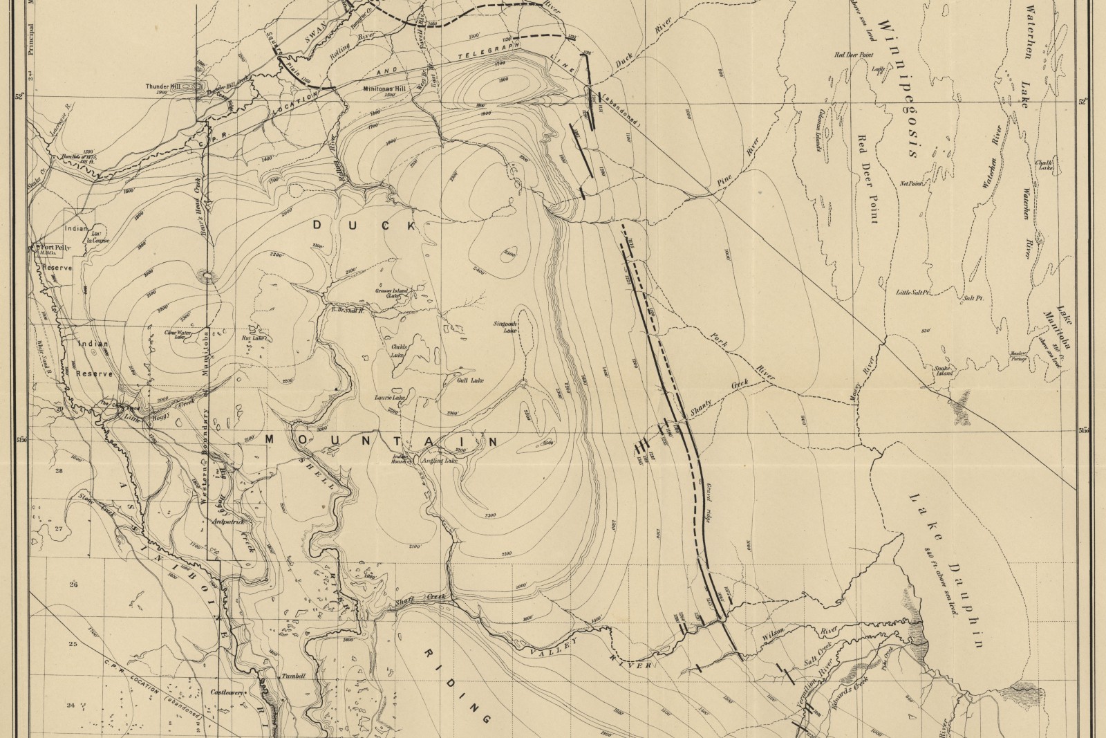
Selkirk Ridge Trail Map
A field-durable trail map covering 42 miles of alpine ridge trail, printed to the classic quarter-mile-per-inch backcountry scale.
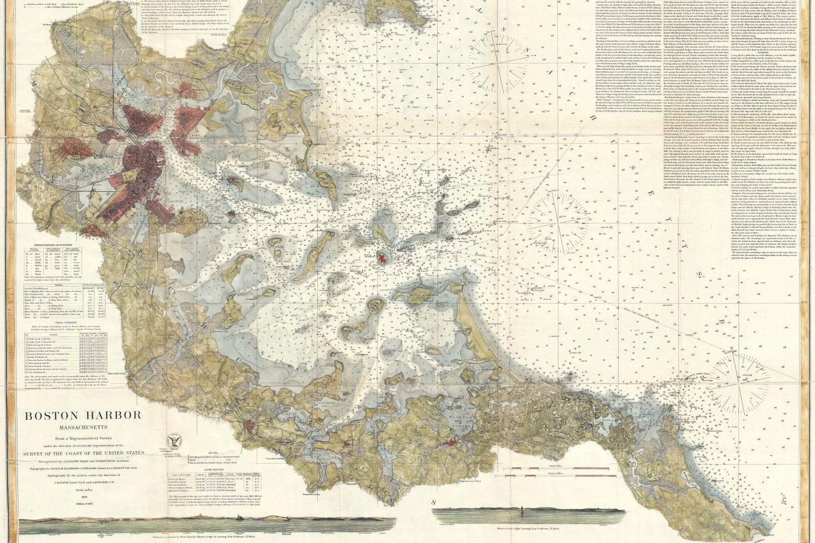
1889 Portland Harbor Chart Reproduction
A hand-inked, archivally faithful reproduction of an 1889 harbor survey chart, restored from a damaged original held by a regional maritime museum.
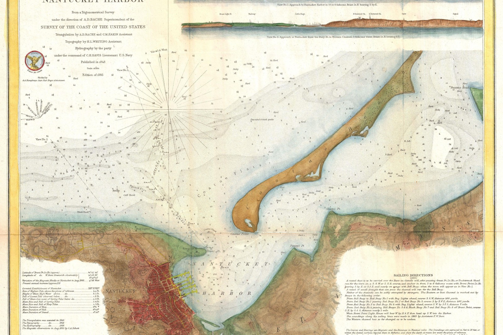
Cascade Bay Sailing Chart
A laminated racing chart for a yacht club's home waters, combining official NOAA sounding data with hand-illustrated shoal hachures.
Six ways to put a place on paper
Custom City & Neighborhood Maps
A city or neighborhood, illustrated at a real, legible scale.
Learn MoreEstate & Property Maps
A private property or estate, from the recorded boundary to individual outbuildings.
Learn MoreWedding & Anniversary Maps
Where you met, moved, and married — illustrated as a single keepsake map.
Learn MoreHistorical Map Reproduction & Restoration
A faithful hand-inked reproduction of a historical chart or map.
Learn MoreNautical & Trail Maps
A trail or stretch of coastline, mapped for the field, not just the wall.
Learn MoreCorporate & Wayfinding Maps
A campus or facility, mapped from the architect's own plans for signage and handouts.
Learn MoreFrom first sketch to finished plate
Consultation
A conversation about the place, the occasion, and what the finished piece needs to show — plus a real scale worked out together, not assumed.
Research & Survey
Public survey, GIS, or architectural data pulled first; field verification on foot or by GPS wherever it materially matters.
Illustration
Hand-inked or digital linework, drafted at the working scale, with a proof reviewed before any colour or lettering pass.
Proofing & Print
A final proof at true size, then archival printing on the stock the piece actually needs — framing paper, or field-durable synthetic.
Three real projections, one continuous surface
The graticule and coastline behind this page are the same three projections every cartographer chooses between — genuinely computed and blended as you scroll, not a looping animation.
x = lon
y = lat
x = lon
y = ln(tan(π/4 + lat/2))
x = cos(lat)·sin(lon−lon₀)
y = cos(lat₀)sin(lat) − sin(lat₀)cos(lat)cos(lon−lon₀)
Work out a real scale before you commission
Pick a print size and how much real ground the map needs to cover — the representative fraction updates live, computed from genuine unit-consistent arithmetic.
A real scale, computed live: real-world width ÷ paper width, both converted to a common unit — the same arithmetic every plate in the studio's slate carries printed in its margin.
Tell the studio about your map
A cartographer replies within two business days with a scope, real scale, and quote.