Historical Reproduction
1889 Portland Harbor Chart Reproduction
A hand-inked, archivally faithful reproduction of an 1889 harbor survey chart, restored from a damaged original held by a regional maritime museum.
A hand-inked, archivally faithful reproduction of an 1889 harbor survey chart, restored from a damaged original held by a regional maritime museum.
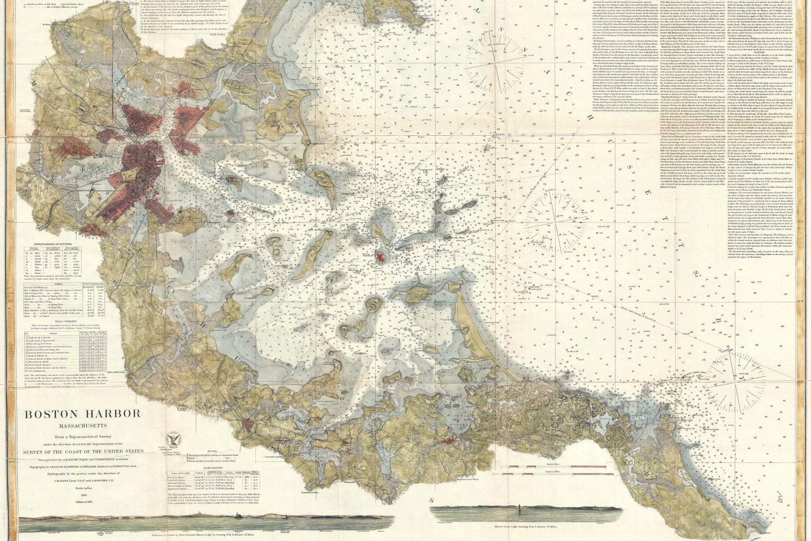
A regional maritime museum holds a single surviving 1889 U.S. Coast Survey plate of the harbor, too fragile for regular display and missing roughly a fifth of its original detail to water damage along one edge. The museum commissioned a hand-inked reproduction faithful enough to exhibit in the original’s place, with the damaged section reconstructed from the Coast Survey’s separately archived field notes for that stretch of shoreline rather than invented.
Every reconstructed section is documented in a companion condition report delivered alongside the plate, listing exactly which linework is original-faithful tracing and which is field-note reconstruction, so the museum can represent the piece accurately to visitors and researchers.
The finished reproduction was inked at the original plate’s exact scale, 1:20,000, using period-appropriate line weights and lettering style rather than a modern hand, and is now on permanent display alongside the fragile original.
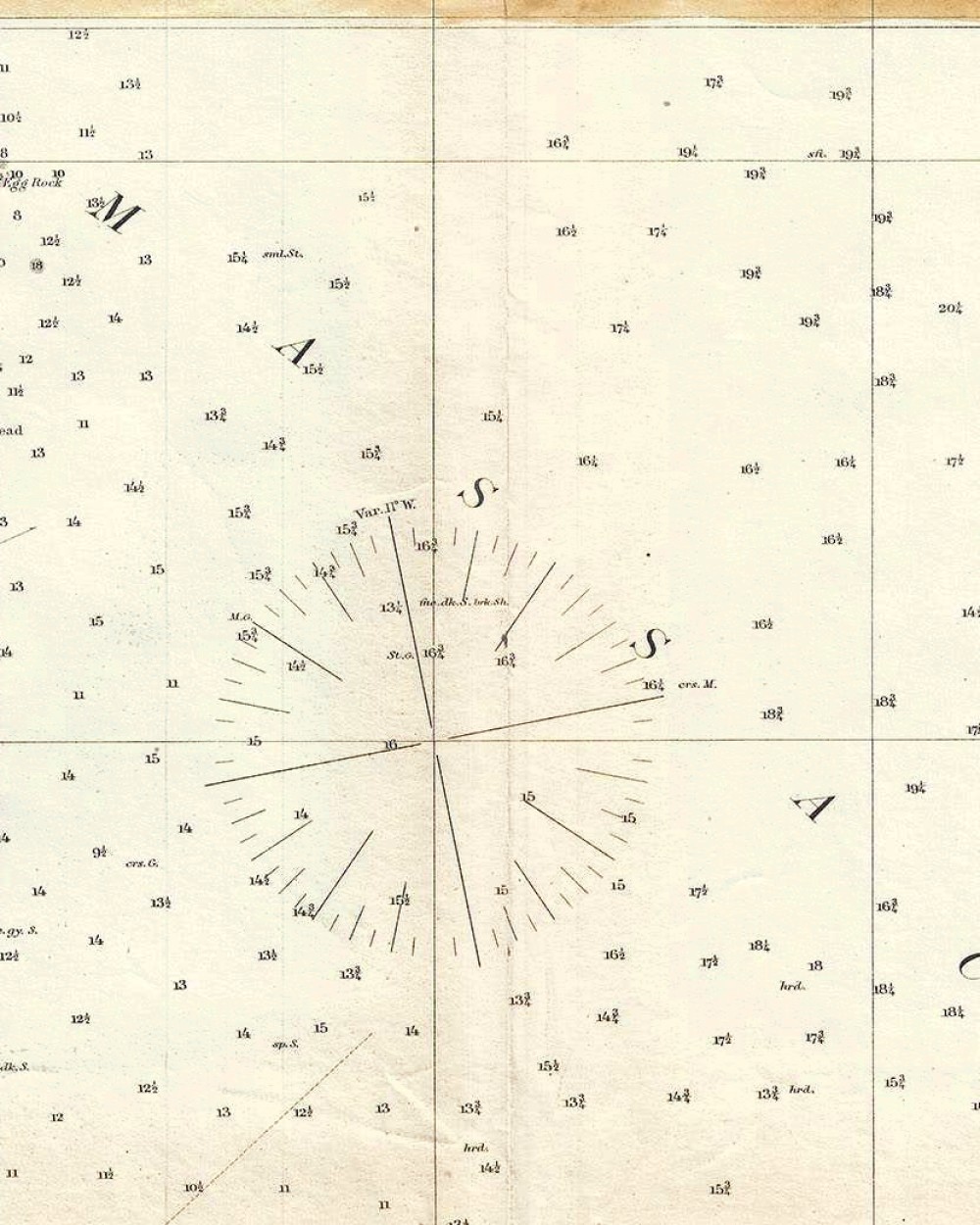
Every piece starts with a scale worked out honestly for the place it needs to cover.