Wedding & Anniversary
The Ashford–Reyes “Our Story” Map
A hand-illustrated world route map tracing where a couple met, moved, and proposed, given as a wedding-day gift from the couple's families.
A hand-illustrated world route map tracing where a couple met, moved, and proposed, given as a wedding-day gift from the couple's families.
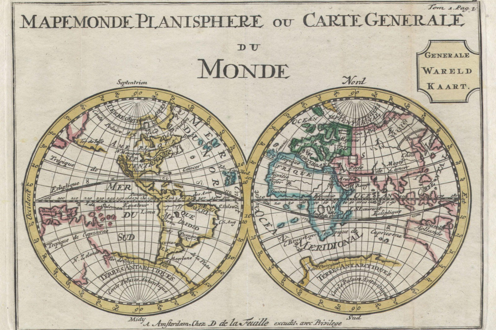
Commissioned by both families as a wedding-day surprise, this map traces the couple’s relationship across five cities on two continents — where they met at a language school, the city they both moved to for work, three trips taken together, and the harbor where the proposal happened.
Because the route spans a genuinely large geographic range at wildly different real distances, the studio was upfront with the clients that this piece could not honestly carry a single representative-fraction scale the way a property or trail map can — compressing five very differently-spaced cities onto one legible sheet meant the geography is illustrated rather than surveyed, and the map says so plainly in its margin note rather than implying a false precision.
The five city skylines bordering the map were each drawn from a real reference photograph the couple supplied, and the central route line was inked freehand in a single continuous pass to keep the line quality consistent from start to finish.
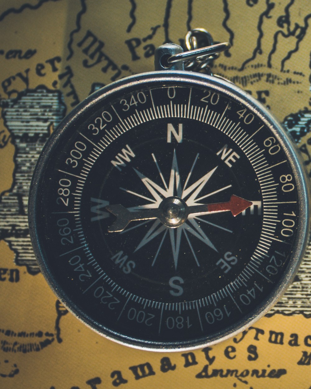
Every piece starts with a scale worked out honestly for the place it needs to cover.